
Sumner Association of Neighbors (SAN) was formed in the 1990s. Before that, this area was an overlap neighborhood shared by Parkrose and Cully neighborhood.
The name ‘Sumner’ comes from the former name of Helensview School at NE 87th and NE Sumner. It used to be Sumner Elementary school in the Parkrose School District.
The abbreviation ‘SAN’ was selected because the old-timers in the neighborhood referred to the field next to I-205 (along NE 92nd Ave north of NE Sandy Blvd) as the “sandlot” — their pronunciation dropping the ‘d’. (Before the I-205 freeway was completed in 1976, the SAN lot was the Sandy Blvd Drive-In movie theater.)
Sandy Blvd Drive in Movie Theater

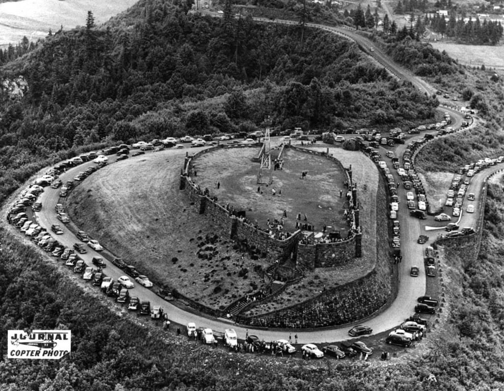
Rocky Butte
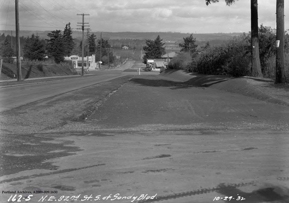
82nd & Sandy Blvd looking North to Mt St Helens
Above photos are courtesy of the Forgotten Oregon and Portland Memories groups on Facebook.
Maps of Sumner from 1897 to 1990
Locate the map on the right, zoom to Sumner. Then hover over each map version listed on the left to time travel via the map.
Indigenous Territories
Sumner rests on the traditional lands of five Indigenous communities. We recognize that these communities remain the original stewards of the area we live in today.
Source: https://native-land.ca/
- Cascades
- Cayuse, Umatilla and Walla Walla
- Confederated Tribes of Siletz Indians
- Confederated Tribes of Grand Ronde
- Stl’pumsh (Cowlitz)